Social Studies is a natural place for My Maps to appear. This year I created a HyperMap. This is based on the HyperDoc method. The students are given a map with information they are to know. This information will also be used to create a final product. Sometimes I have them creating a video on Animoto, other times it might be flyers/pamphlets, or some other creative way the students show what they’ve learned.
For the 13 colonies, I created a HyperMap with a few different layers: 13 Colonies, Current 50 States, and Colonial Regions. The students were to take notes and create a final product: a ‘billboard’ for their state. You can view their final products here. (NOTE: The billboard idea came from Los Virgenes School District via a teacher Nancy Minicozzi – @coffeenancy – works with).

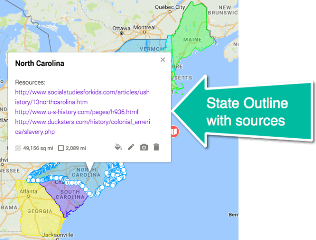
I did NOT create all the outlines. A Google Mapper created a site with some great resources. I downloaded the KML File and then uploaded it to my map (see video).
Using My Maps in this way allowed my students to become more familiar with the territory and they had ownership over their learning. I’m clearly a fan of HyperMaps!

